The River’s Edge: A Thousand Corners on the Lek and Linge
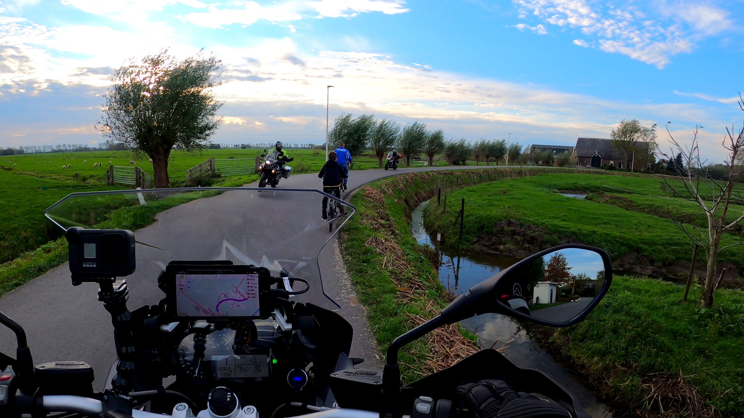
The Netherlands, when viewed from above, is often seen as a tapestry of geometric efficiency—straight lines, ordered canals, and fields stitched neatly into a grid. But to truly know this country, you must drop the altitude, settle into the saddle of a motorcycle, and follow the serpentine paths that defied geometry: the dikes.
My journey began in Arkel, where the railway line acts as a humble meridian, dividing one world from the next. The air was cool and thick with the scent of damp earth and distant dairy farms, a fragrance distinct to the Zuid-Holland polders. My machine, a well-worn tourer, vibrated beneath me, impatient for the road ahead. This route, the ANWB Lek en Lingeroute, promised 105 kilometers of intimate history, a ride not about speed or elevation, but about immersion into the quiet, powerful struggle between man and the sea. It is a route tracing the dual personalities of the Dutch river country: the fierce Lek, a giant carving the landscape, and the gentle Linge, weaving through orchards like a silver thread.


The Whisper of the Linge: Where Orchards Meet Artillery
Leaving Arkel, I immediately traded the anonymity of wider roads for the cozy confinement of the Lingedijk. This is the realm of the Linge, an artery of fruit and quiet commerce. Here, the polder lies several meters below the water line, and the road is a raised ribbon, demanding respectful throttle control. The ride is pared down to its essentials: balancing, leaning, and breathing the scent of damp moss and awakening hawthorn.
The Linge is a study in Dutch pastoral perfection. For kilometers, the banks are lined with pollard willows, their knobby crowns looking like aged sentinels watching over the water. In the spring, this region, the Betuwe, explodes in a temporary riot of pink and white blossoms—a fragile beauty that belies the hardened history embedded in the soil.
Soon, the small city of Leerdam appeared, marking a shift in the narrative. Known for over two centuries of glassblowing, Leerdam offered a sharp, glittering contrast to the muddy earthiness of the dikes. The National Glass Museum speaks to the Dutch compulsion to capture the transparent and the ephemeral. As I walked the historic streets, the weight of the Grote Kerk (Great Church) was palpable, a 16th-century sentinel anchoring the town against both the wind and time.
The ride quickly pulled me back into the military heart of the region. Just beyond Leerdam, the moat-ringed Kasteel Heukelum stood, its walls still bearing the memory of the French troops who sacked it in the Rampjaar (Disaster Year) of 1672. Every turn of the dike here is a lesson in medieval defense.
The history culminated in Asperen, a town whose restored ramparts felt like the very definition of resilience. The true masterpiece of defense, however, lies just outside the walls: Fort Asperen. This former bastion is a key component of the Nieuwe Hollandse Waterlinie (New Dutch Waterline), a defensive system conceived not as a wall of stone, but as a strategy of strategic inundation. Riding through this area, you feel the tension: the land is not merely ground; it is a weapon.


The Scar and the Scythe: Crossing the Diefdijk
The journey westward led me onto one of the route’s most defining stretches: the Diefdijk, or Thief’s Dike. I dropped a gear. This nine-kilometer ribbon of asphalt, narrow and sinuous, offered a precision riding challenge—technically brilliant for the focused enthusiast. Its original purpose was not to hold back the Lek, but to divide the polder, acting as an internal bulkhead to limit the spread of any catastrophic flooding. The name itself suggests its historical role—a line drawn against unwanted intrusion, whether by water or by rival county forces.
The road demands focus. The lean angles are shallow but constant, the narrowness forcing precision. The engine settled into a deep, rhythmic hum, a counterpoint to the rush of wind in my helmet. For nearly ten kilometers, it was just the bike, the dike, and the sky.
Here, in the fields near Schoonrewoerd, the landscape offers its most humbling geography lesson: the Schoonrewoerdse Wiel. A wiel is a deep, circular pool formed when a dike breaches. The sheer force of the water scouring the earth leaves a permanent, circular scar, rimmed by reeds. It is a physical reminder that no matter how organized man makes the land, the river is the ultimate authority.


The Arrogance of the Lek: Riding the Big Water
The Diefdijk delivered me to the massive, sweeping curve of the Lek River. This is the Lekdijk, and the character of the ride shifted entirely. The Linge was intimate and agricultural; the Lek is broad, powerful, and mercantile.
In the medieval town of Vianen, I passed through the formidable, brick-built Lekpoort—the last remaining gate of a once strategically vital fortress. The motorcycle journey along the Lekdijk is mesmerizing. You are riding directly alongside the heavy shipping channel, watching colossal river barges slide slowly against the current. These barges are the pulse of the Dutch economy, moving with a ponderous majesty that makes the motorcycle feel utterly insignificant, yet wonderfully agile.
The architecture here tells its own story of survival. The traditional hall-house farms of the Alblasserwaard polder are distinct. Built on raised foundations to guard against the inevitable floods, the living quarters were often perched above the high-water mark. This practical design, born of necessity, created a cool, vital space beneath the home for a crucial and valuable commodity: the winter’s stock of cheese.
The Final Hum
The final stretch of the route was a visual feast of Dutch iconography: the windmills. In Groot-Ammers and Streefkerk, lines of polder mills stood like silent, rotating sentinels. They were working machines, performing the essential, centuries-old task of keeping the Alblasserwaard dry. The air here was sharp with the ozone and the clean, rhythmic sweep of the sails.
The route then turned toward the last fortified jewel: Nieuwpoort. This town, heavily reinforced after the 1672 disaster, became a permanent, star-shaped component of the Waterline. Today, riding past its restored ramparts and the handsome 17th-century Stadhuis (Town Hall), one feels a profound sense of closure. The battle fought here was not just with invading armies, but with the fundamental forces of nature that defined the nation.
Pulling back into Arkel, the journey complete, I shut down the engine. The silence that followed was immense, broken only by the sharp, metallic ticking of the cooling motor. The Lek en Linge route is more than a scenic drive; it is a thousand-year timeline of Dutch history etched onto the asphalt ribbon of the dikes. It is a story of water, of defense, and of the profound, quiet resilience required to build a nation on the edge of the sea. And to ride it, leaning into every turn, is to feel that history vibrating directly up through the handlebars.
Below is a video where you can watch parts of the ride. (20 minutes)
Route Information
editor's pick
news via inbox
Want to be the first to know about my latest adventures and hidden gems?
Sign up for the MotorAway.eu newsletter to get exclusive travel stories, stunning photos, and video updates delivered straight to your inbox.
Join a community of fellow motorcycle enthusiasts and never miss a ride.